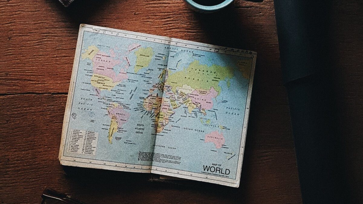
Top Rated Atlases On Amazon For The Ultimate Worldwide Discovery
Atlas books usually put together maps of the earth or those of a particular region. The maps mostly feature geographical features, topography, and political boundaries. They may also analyze climatic, religious, social, and economic aspects. With specific atlas books, you may find tables, an area’s historical details, graphs, road maps, tourist attractions and so much more about the area(s) of concern.

Essential World Atlas, by Oxford University Press
Crafted with superb maps of the entire globe, this atlas offers a thorough geographical coverage, additional to the city-mapping program that excellently stands out. Discover fundamental concepts regarding human geography from the thematic maps, graphs, and charts used for explanation. The atlas also consists of extensive coverage of up-to-date topographical and political changes.
Discover informative statistics on the areas covered in the atlas, populations, and the annual incomes of each analyzed country. There are metro maps of different cities which give first-hand information about great tourist attractions. They also provide details about public transportation and other aspects that may interest and influence you as a traveler.
For your fast reference, the atlas’s map section is completely indexed. The Essential World Atlas is also comprised of various satellite images for you to view the world from above. This will offer you insights of how different cities keep expanding and how rivers have continuously provided desert life. The special “World in Focus” section has indices that are very easy to use, together with surveyed data. Additionally, there are illustrated world flags in this section.

Goode’s World Atlas, by Rand McNally
Whether you are a student or you need help navigating through the globes and regional landscapes easily, Goode’s World Atlas is for you. This twenty-third edition atlas is packed with the basics, all the vital information regarding rainfall, regional religions and terrain types. The good indexing will help with all that you are looking for.
The atlas has color-coded and well-detailed charts and headings with brief but informative introductions in each of the sections. Goode’s World Atlas boasts of more than sixty references and a lot of thematic maps. What makes the thematic maps in this atlas unique is that they have been expanded to consist of various contemporary matters such as human trafficking, forest losses, conflicts, and sea-level rises. There are also maps for detailed issues for world countries and continents.
Get to be comprehensively guided through the world, the variable populations, and physical aspects.
This atlas has continually evolved to allow the readers to attain a deeper and a much more precise geographical understanding. The provided standard maps are attention-grabbing with essential information.

National Geographic Atlas of the World, by National Graphic
This 11th edition of the series is not only beautiful, but also informative. It contains all bits of information about the world. This atlas is definitely worth your investment. It has been updated with the most fascinating visuals of global conditions. Its massive size will allow you to appreciate every detail of the many highlighted maps. There are authoritative and well-detailed physical, thematic, cultural, and satellite maps.
This atlas vastly details our planet’s information. Its table of contents thoroughly shows the aspects of the world contained in the atlas in an orderly manner, including the inhabitants. The opening section has employed current data to enable you visualize urgent matters such as fluctuating freshwater availability, refugee movements, wild habitats of the world, and conditions of people’s rights.
Unlike some other atlas books that do not often name small towns, this one does. Additionally, it contains massive amounts of information regarding land masses and the world’s open seas. This atlas is chronologically organized by continent to reflect the political boundaries and identities of today’s world. It is an incredible reference for libraries, schools, and citizens.
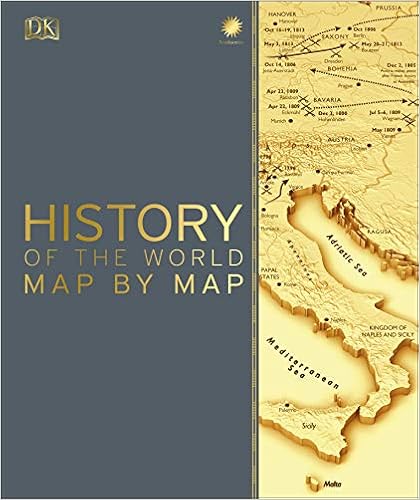
History of the World Map by Map, by DK
Discover the earth’s topography and country borders from the 140 maps provided in this atlas with an incredible overview of human history. The maps have also been complemented with photographs, info boxes, and have well-written timelines.
Learn about the different continental forces and movements that have continually shaped the world. Ultimately, you will attain a lot of understanding about these possibly unknown aspects. This atlas book is historical and its content has reached different millennia. It offers a broad perceptive of past pivotal events such as evolution details and the movements of Africa’s oldest ancestors.
Discover the details of the Persian and Greece wars, the famous Mongol conquests, and the Europe’s medieval routes used for trade. Find out about the up rise of Ottomans. The atlas also has maps that will give you a lens of North America’s colonization and Napoleon’s advances. Additionally, see how Britain controlled India and the scientific revolution. Details regarding later centuries such as the Age of Imperialism, America’s Civil War, Europe’s industrialization, and Japan’s transformation have also been analyzed.

National Geographic Road Atlas 2021, by National Geographic Maps
This is the ultimate guide for your next road trip around Canada, the 50 US states, Mexico, and adventurous Puerto Rico. The main cities and metropolitan areas are well detailed. The inset maps contain popularized attractions, different infrastructure, and other points of interest.
What sets this road atlas apart is the fact that it offers a guidance for recommendations alongside the detailed maps. These recommendations are based on the top 100 destinations and most visited National parks for your adventure. The atlas has an extra resources section which gives contact information for various local offices that facilitate tourism. Additionally, the section has destination name indexes for you to easily locate a particular city.
What makes this atlas great is that, unlike what the title implies, it is an all-rounded entity. The roads are well highlighted using different color schemes that are visually appealing. These will help you to easily understand your navigation. Use this brilliant guide as you tour your favorite destinations.
Final Thoughts
Atlas books offer vital information about the world or different regions and are excellent reference points. Depending on your needs, the ones here will be resourceful.

My profession is online marketing and development (10+ years experience), check my latest mobile app called Upcoming or my Chrome extensions for ChatGPT. But my real passion is reading books both fiction and non-fiction. I have several favorite authors like James Redfield or Daniel Keyes. If I read a book I always want to find the best part of it, every book has its unique value.


